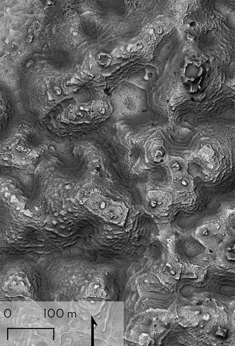
A research team then went on to discover a huge ancient city that they named “Valeriana” after a nearby freshwater lagoon.
The researchers say Valeriana, which may have been home to 30-50,000 people at its peak, probably collapsed between 800 AD and 1,000 AD, for a complex set of reasons, including climate change.
“The growing consensus is that climate variability was a major factor causing stresses, adaptations and reactions, leading to more systemic unrest,” Canuto told NBC News on Tuesday.
It was partly because they were so densely populated and gradually, over a few generations, could not survive climate problems.

LiDAR technology is a recent advancement over the past decade that has revolutionized archaeological research, especially in densely forested areas.
The technology is capable of revealing extensive, previously unseen layers of history embedded in remote regions that would otherwise be inaccessible.
By covering large expanses of ground with precision, LiDAR allows researchers to uncover hidden structures.
Canuto said this technology, which uses laser pulses to penetrate the forest canopy, capturing highly detailed images of the landscape beneath, has transformative power, describing it as a form of “digital deforestation,” he added.
There are no known images of the lost city, Canuto said, only LiDAR maps, because no one has ever been there with local residents, possibly suspecting that ruins may lie beneath the mounds of earth.
Although this study is the first to reveal Maya structures in east-central Campeche, archaeologists are finding areas with layers of human activity are more common than once thought, he said.
Canuto is hopeful that this discovery emphasizes the need for more field research alongside the large efforts to map the region using drones.
“It would be wonderful over the next 10, 20 years,” he said. “We should have double the amount of ground covered in LiDAR.”

