
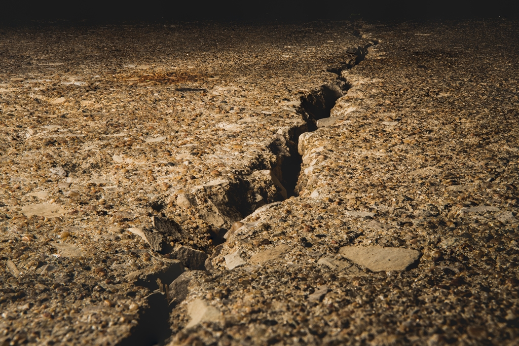
PORT MORESBY, SEPT 5 – An earthquake measuring 6.2 on the Richter scale shook Papua New Guinea on the northern coast of the country today, according to the United States Geological Survey (USGS).
The USGS map shows the quake centered in an area in the ocean about 300 kilometers east of the town of Vanimo.
A photographer based in the provincial capital Wewak told AFP there did not seem to be any major damage immediately after the quake.
Earthquakes are common in Papua New Guinea, which sits on the seismic ‘Ring of Fire’, an area of intense tectonic activity that stretches across Southeast Asia and across the Pacific basin.
Although earthquakes there rarely cause widespread damage in sparsely populated areas, such events can trigger dangerous landslides. – AFP